The same tracker may report a stable position on an open road, then drift near buildings or temporarily fail to obtain a fix. This does not necessarily mean the device is faulty. The first question is whether satellite reception conditions have changed.
To understand the difference, follow the signal: where it originates, what happens along its path and how the device receives it.
How does GPS determine a position?
GPS is the United States' satellite navigation system. GNSS is the broader term for satellite navigation systems, including BeiDou and Galileo. A “multi-GNSS” device generally has a receiver that can use signals from multiple systems.
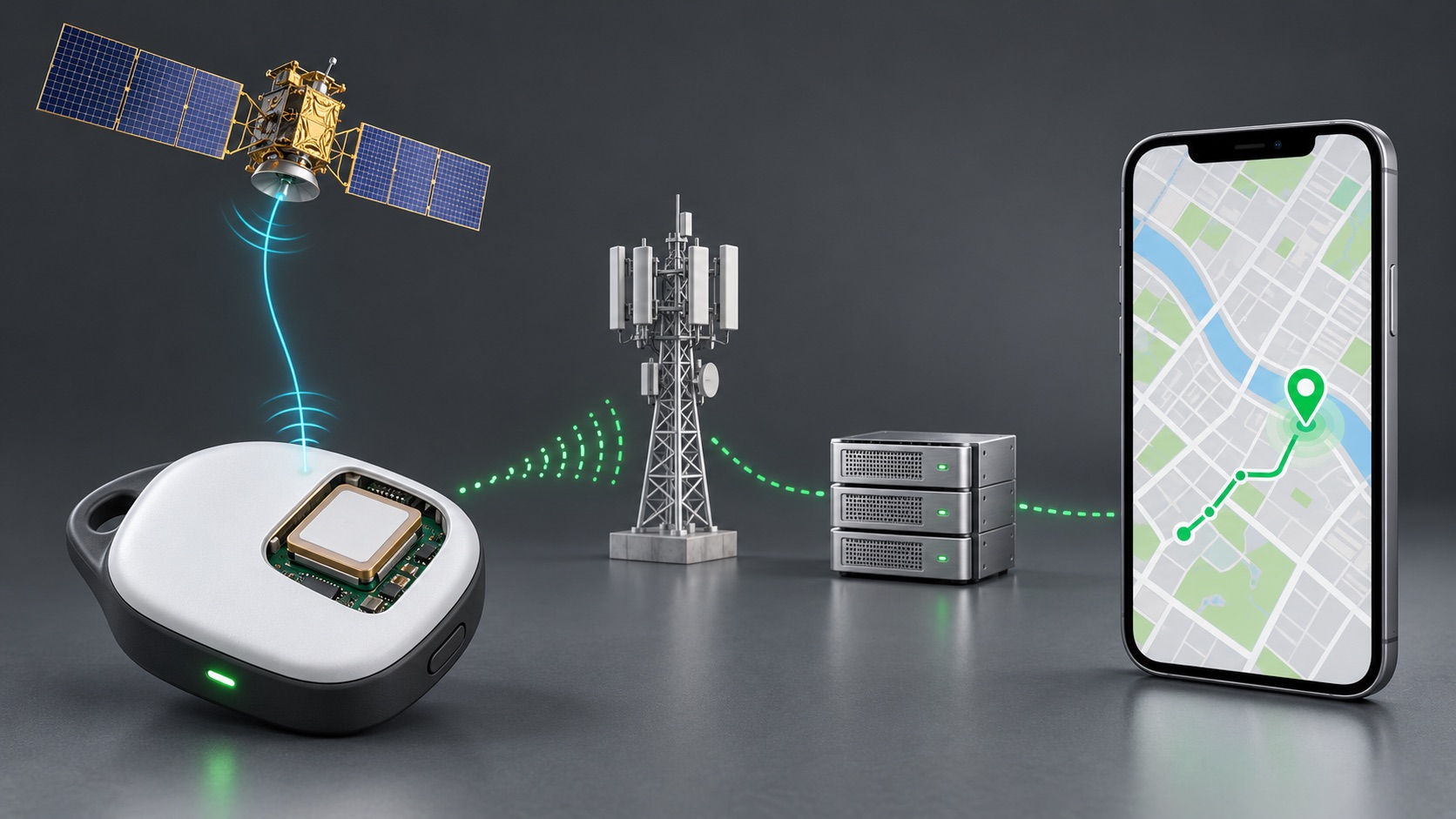
The receiver calculates a position using information broadcast by satellites, including timing and orbital data. It does not send a positioning request to the satellites and does not need to connect to a phone to calculate its own position. Delivering that position to a remote user is a separate communication function.
This gives an important distinction: mobile-network connectivity does not guarantee a valid satellite fix, and a temporary lack of mobile connectivity does not necessarily prevent positioning.
Why do obstruction and reflection affect the result?
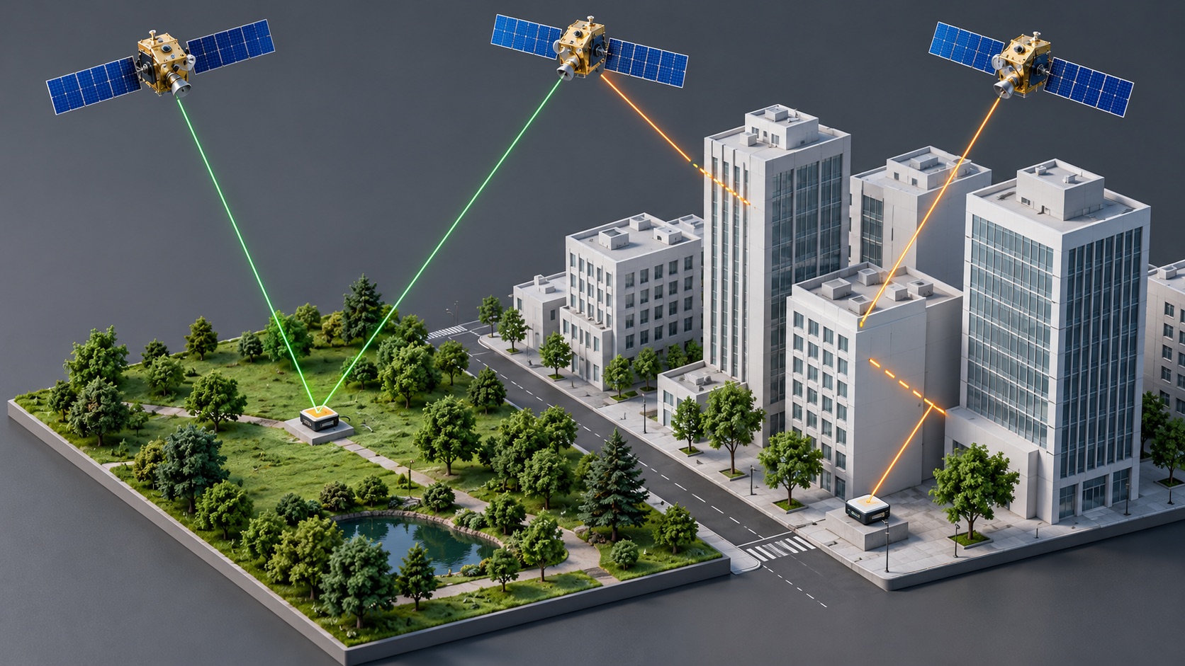
Open areas generally offer better satellite reception. Near buildings, signals can face two problems: obstruction prevents them from reaching the receiver, while reflection from walls or other surfaces makes them arrive along longer paths, causing multipath effects.
GPS.gov's accuracy guidance explains that performance depends on satellite geometry, signal blockage, atmospheric conditions and receiver design. Indoors, underground or among tall buildings, acquisition may take longer, positions may shift, or no valid fix may be available.
Multi-GNSS can provide more usable satellite signals, but it does not remove every environmental constraint. It does not make buildings transparent to signals or turn one outdoor test result into a guarantee for all locations.
The complete device matters as well as the surroundings
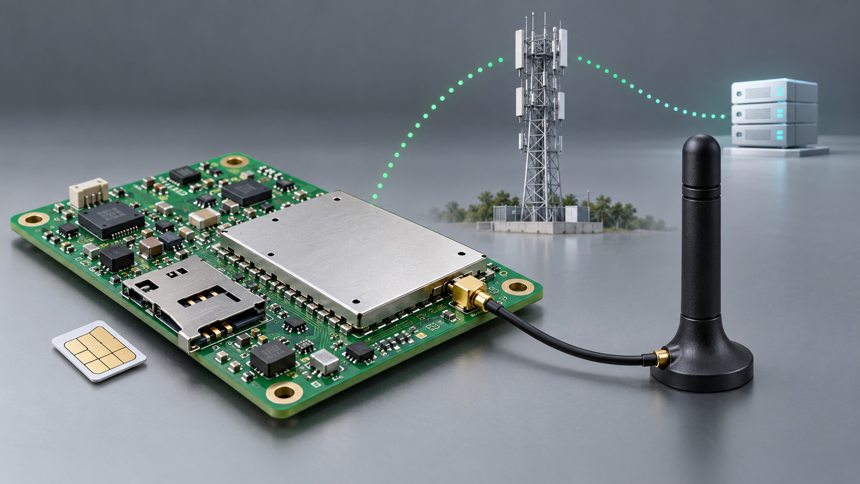
Signals must pass through the antenna to reach the receiver, so the chipset alone is not enough to evaluate a design. Antenna placement, nearby metal, the enclosure and other circuitry should be checked against module and antenna design guidance.
Testing a bare prototype board in an open area establishes performance only under those conditions. Fitting the enclosure, placing it in a pocket, attaching it to a collar or mounting it beside cargo brings testing closer to actual use.
A useful sequence is to establish an open-sky baseline, repeat with the final device and mounting arrangement, then test near buildings and in other target settings. This helps distinguish environmental limits from integration issues.
A point on the map is not necessarily a current position
When the receiver cannot obtain a new fix, the system may retain its last valid coordinates. Without a time and status indication, users can easily mistake that point for a live position.
The map should therefore be accompanied by three pieces of information:
- Position time: when the coordinates were acquired, not when they were uploaded.
- Positioning status: a newly acquired valid fix or the last valid position.
- Position source: satellite positioning or another supplementary method.
Even if the device enters a building, the user can then understand the limits of the information instead of relying on an apparently precise map pin.
How should a positioning device be evaluated?
Do not ask only “How accurate is it?” Ask which environment, mounting arrangement and test conditions produced that result, and observe how the device reports a failure to obtain a fix.
A reliable experience does not promise identical performance everywhere. It obtains valid positions where conditions allow and makes clear what is known, and what is not, when reception is insufficient.